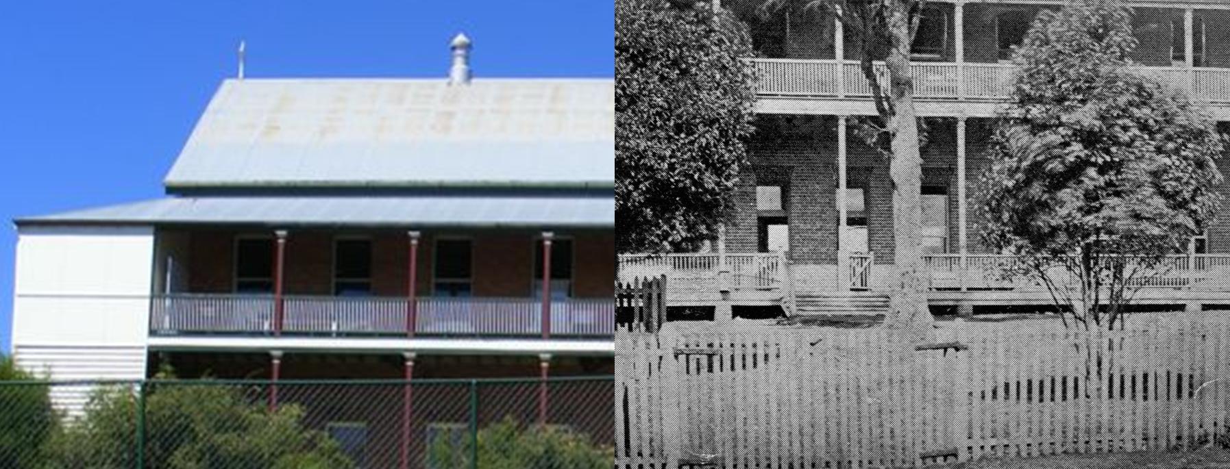
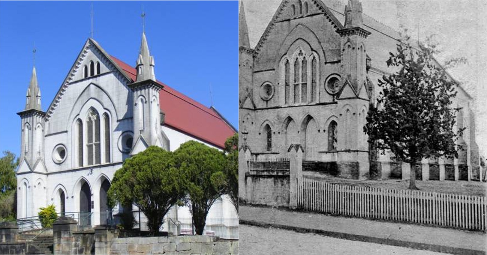
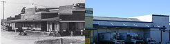
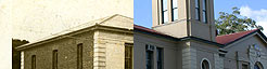
Select an area of interest below. After selecting an area you can use the "View Then" / "View Now" button to switch between the Then and Now photographs of the area.
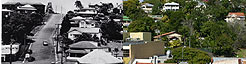
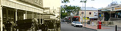
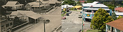
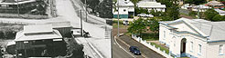
Mary Street Area
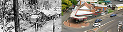
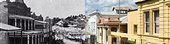
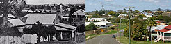
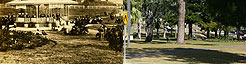
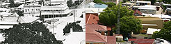
Mount Pleasant Area
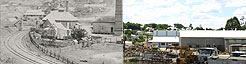
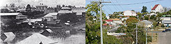
Surrounding Area
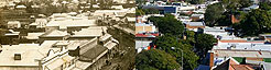
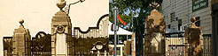
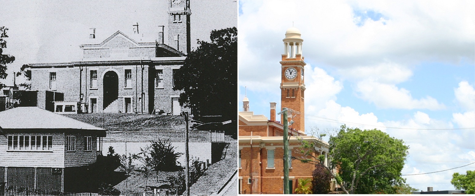
Views from Courthouse tower
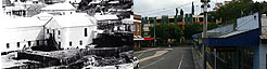
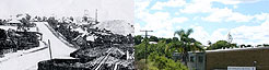
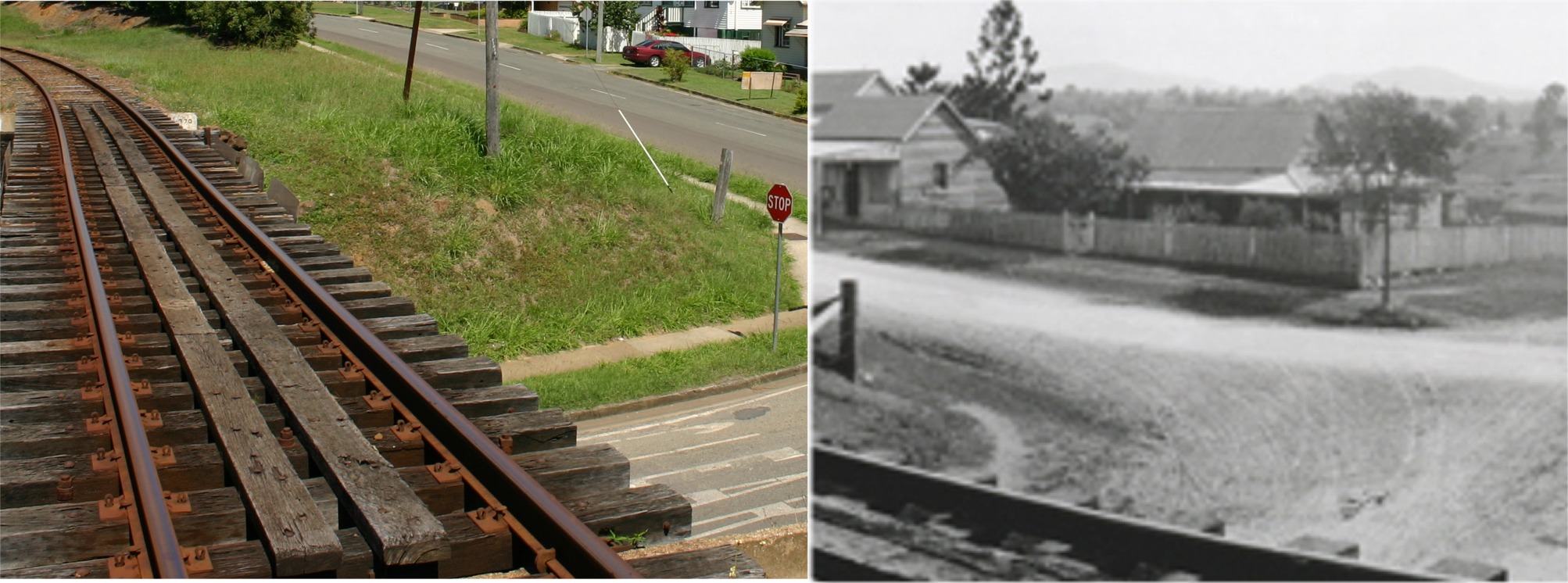
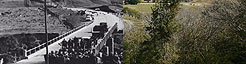
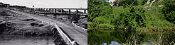
Bridges
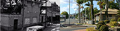
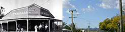
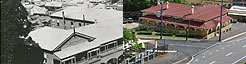
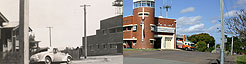
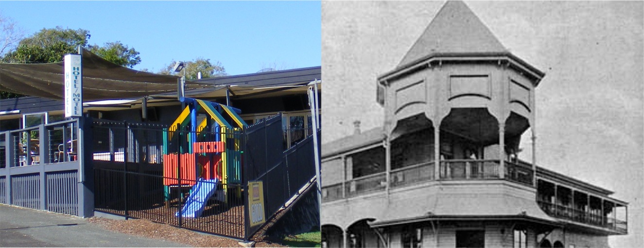
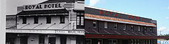
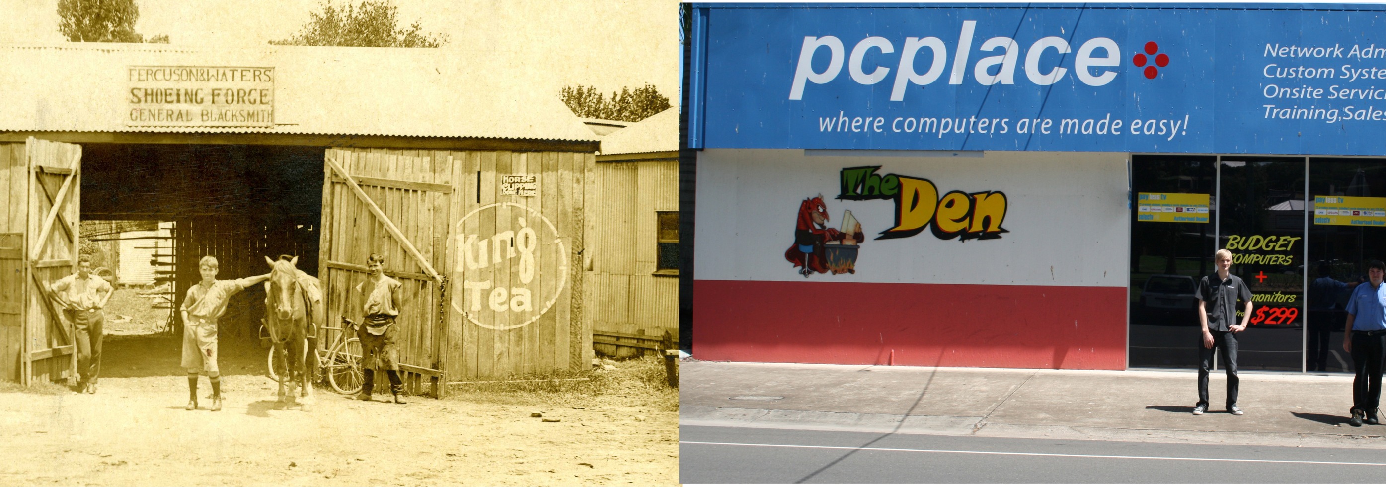
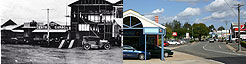
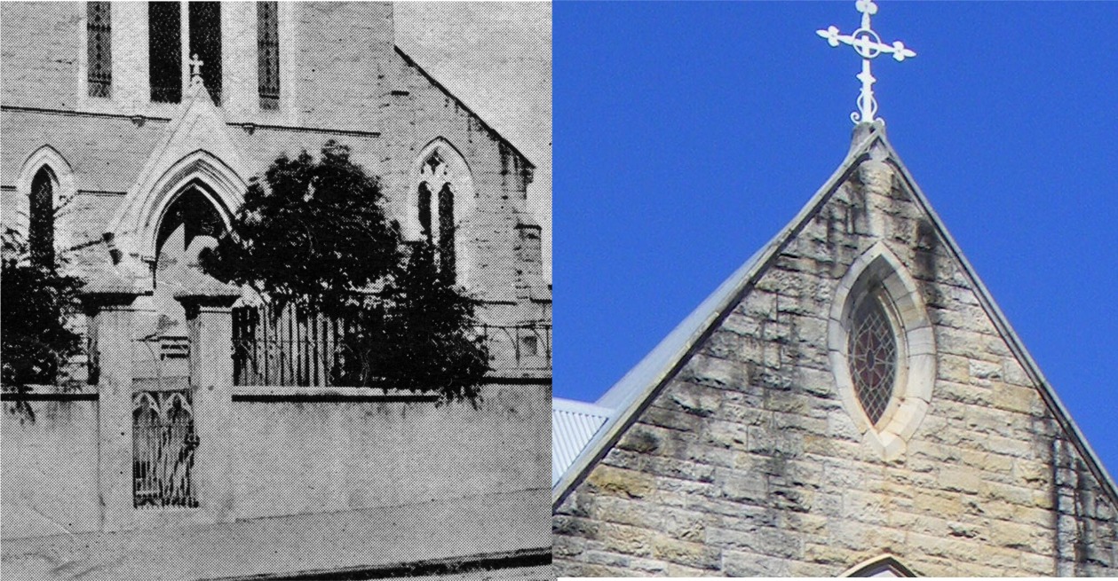
Buildings